
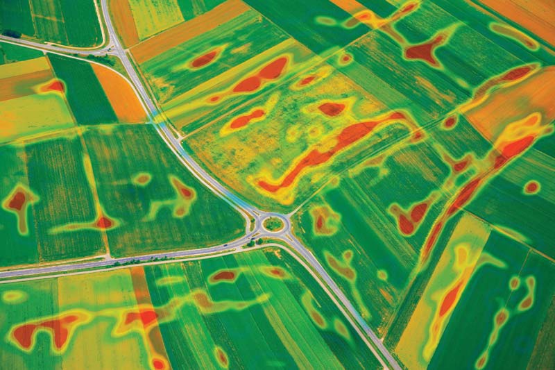
A drone survey refers to the use of a drone or unmanned aerial vehicle (UAV) to capture aerial data with downward-looking sensors such as RGB or multispectral cameras, LIDAR, magnetic and gas detectors, etc., as well as useful drone payloads. During a drone survey with an RGB camera, the ground is photographed several times from different angles and each image is labeled with coordinates.
From this data, a photogrammetry software can create geo-referenced orthomosaics, elevation models or 3D models of the project area. These maps can also be used to extract information such as distances or volumetric measurements with high accuracy.
Unlike manned aircraft or satellite imagery, drones can fly at a much lower altitude, making the production of high-resolution, high-accuracy data much faster, cheaper and independent of atmospheric conditions such as cloud cover.