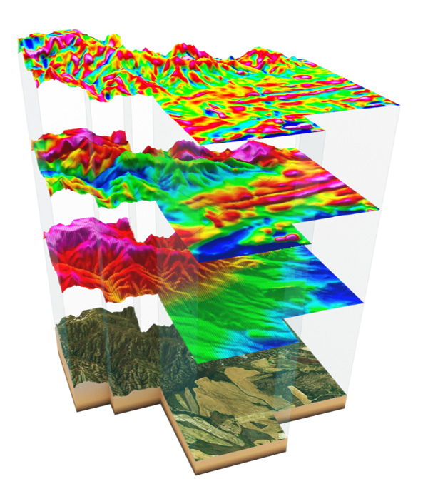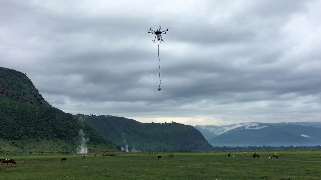


Field surveying with a drone offers enormous potential to GIS professionals. With a drone, it is possible to conduct topographic surveys with the same quality as highly accurate measurements collected by traditional methods, but in a very short time. This significantly reduces the cost of a field survey and the workload of experts in this field.