
A rock may have acquired its magnetic properties during its creation or evolution, either influenced by the old magnetic field (residual magnetization) or merging with the current magnetic field (ambient field). In the latter case, the magnetization is oriented with respect to the Earth’s magnetic field and is therefore proportional to it. The coefficient of proportionality describes the magnetic susceptibility of the material or medium. This susceptibility depends on the magnetic mineral content found in the rock, which is mainly magnetite and pyrrhotine. For example, mafic and ultramafic rocks have a higher concentration of magnetite than felsic, metamorphic and sedimentary rocks.
This type of survey used to be very expensive and only used by government agencies and is very useful for land use development and planning. Today, drone technology has made these surveys easier and less costly. They are often used by mining and oil exploration companies, as well as for hydrogeological, archaeological, environmental and even military surveys.
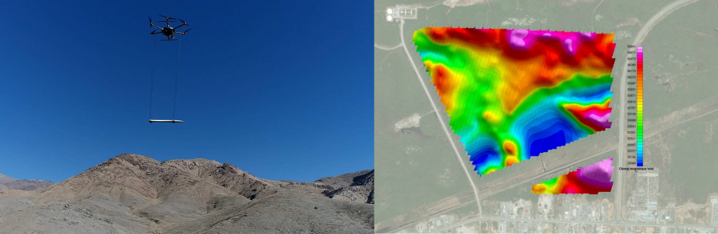
There are many different types of aerial magnetic geophysical surveys: magnetic, radiometric, electromagnetic, gravimetric sensors fixed to helicopter, airplane or drone platforms to take measurements at a certain meter. These surveys make it possible to effectively cover large areas that may be inaccessible or even hazardous without the need to cut any lines, thus significantly reducing overhead costs, so that the costs are lower than any geophysical survey land survey for a large area. However, the resolution they provide is many times higher than terrestrial geophysical surveys.
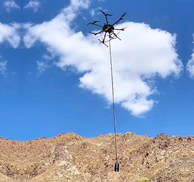
Magnetometers are fixed to an airplane, a helicopter or an unmanned aerial vehicle (UAV) flying over the area, applying a series of equidistant linear paths to collect magnetic measurements. The direction of the lines is usually perpendicular to the geological structures of the area to be studied. The data is then processed to produce profiles, maps and models that geologists can interpret.
Modern technology in geophysical drone surveys can now sample at very high resolution compared to historical geophysical land surveys, and does so at a lower cost and without the need for line cutting.
Aerial/Drone magnetic surveys can be used directly or indirectly to identify several different deposit types and are particularly effective in detecting iron deposits, titanium deposits, kimberlitic vents (sources of diamond deposits), bauxite deposits and rare earth elements (tantalum and niobium) associated with carbonatites. .
They are also widely used to identify and locate chromium and nickel deposits associated with ultramafic rocks of the type found at the Olympic Dam, volcanogenic massive sulphide (VMS) deposits, porphyry copper and iron-copper-gold oxide deposits (IOCG).
To learn more about Aerial/Drone geophysical surveys, please contact us.